

 Image 1 of 1
Service | Starting price |
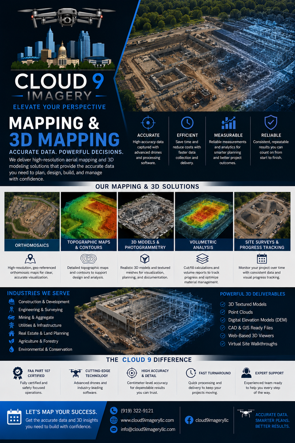
| Small-property orthomosaic mapping |
| Large-property aerial mapping |
| Construction site mapping |
| 3D photogrammetry model |
| Terrain and site documentation |
| Construction progress monitoring (per visit) |
| Monthly construction monitoring package |
| Surveyor/engineering firm aerial data collection |
| Custom GIS-ready imagery delivery |
Survey-grade deliverables and boundary determinations require appropriate professional oversight and additional equipment or processing as applicable.
Service | Starting price |
| Small-property orthomosaic mapping |
| Large-property aerial mapping |
| Construction site mapping |
| 3D photogrammetry model |
| Terrain and site documentation |
| Construction progress monitoring (per visit) |
| Monthly construction monitoring package |
| Surveyor/engineering firm aerial data collection |
| Custom GIS-ready imagery delivery |
Survey-grade deliverables and boundary determinations require appropriate professional oversight and additional equipment or processing as applicable.